|
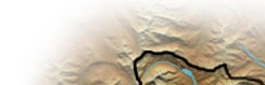
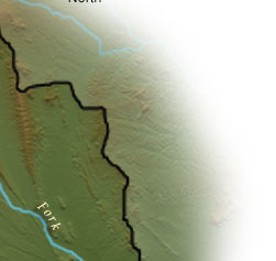
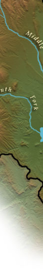
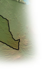
The Ute Indians once lived a sustainable existence in this area, off of the abundance of Elk, Deer and antelope. The Alma State Wildlife Area provides many opportunities to view large animals as well as riparian species that need the lowlands for survival. Mining was the boom historically as dreamers scoured the land and streams in search of riches. Uses from the time of the Ute Indians, miners and eventually modern people have had effects on the landscapes of this area.
Your journey will continue by exploring any of the interactive 360 degree panorama views on the map.
To experience the exciting multimedia panoramas, video and audio-visual stories, you'll need the QuickTime player. Please see the Plug-In Information. |